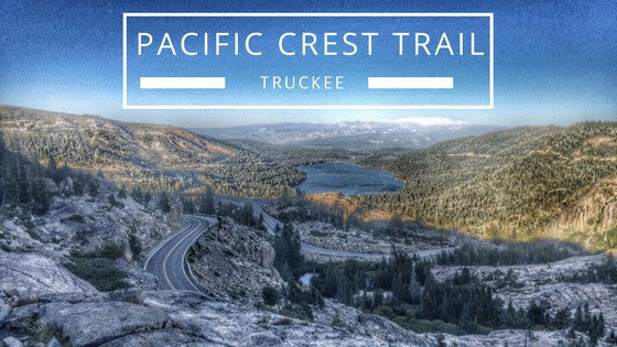
Sawtooth Trail – Classic “Truckee Flat” Hike or Bike
Sawtooth is one of my favorite trails that never seems to get old. Not too short, not too long, not too flat, not too hilly. It winds through the pine and fir forest on the ridge above the Truckee River. At dawn and dusk you can frequently spot deer or bears. The trail itself is well-maintained and has long stretches of easy to ride, run, or hike on dirt trail, interspersed with shorter rocky sections that could challenge some beginner riders. There are a couple of spots where you can catch a view of the Truckee River Canyon, but mostly it’s a high-quality forest trail, perfect for spring, summer and fall recreating. It can be fairly hot mid-day in the summer, so try for early morning or late afternoon.
Sawtooth Trail Stats
Length: ~11 miles
Trail Type: Lollipop loop
Vertical: ~750 feet
Difficulty: Easy to Moderate
Surface Type: Packed dirt with some rocky spots and plenty of “moon dust” in the drier months.
Features: Wildflowers, pine and fir forest, dog-friendly, mountain views, bear and deer sightings, high-quality trail.
Facilities: You’re on your own. No water or restrooms.
Maintenance: Truckee Trails Foundation
Directions:
From downtown Truckee, head south-east on Brockway Rd.
Go up the hill and turn right at the first light, Palisades
Continue uphill and it will change to Ponderosa as it goes around a sharp left corner.
Turn right on Silver Fir
Turn left on Thelin
Head uphill, turn right onto the Forest Service 06 Road and immediately park on the left.
Parking: If there isn’t any parking right at the start of the 06, continue along the road until you get to a secondary parking area (where there is another spot to pick up the trail). Parking is free. There is a gate right at the intersection of Thelin and the 06 that is closed seasonally in the wetter months.
Trail Description:
Sawtooth can be done clockwise or counterclockwise, on bike or on foot. The start is mellower going counterclockwise and that is how I describe it here.
The Sawtooth area trails are still being developed, so don’t be surprised if you see an intersection not described here. Also, at the start of the trail, you’ll see lots of short spurs off to your left that go back to the 06 Road. Stay right, but if you happen to go left accidentally, it’s short and easy to turn around and head back to the main trail.

1- Turning onto the 06 Road from Thelin. Parking is on the left, inside the gate, and the trail is on the right, outside the gate. You can also continue for a short ways on the 06 until you reach a second, larger parking area and pick up the trail there instead.

2 -This is the start of the trail. There’s no sign here, likely because a lot of people start from the second and larger parking area.
At the start, watch out for spurs to your left that go back to the 06 Road. Although it’s no big deal if you take one accidentally. They are short, so just turn back around!

3 – This is what much of the Sawtooth looks like, classic Tahoe forest and nice packed dirt trail on volcanic soils.

4 – There are a couple of places to get a view like this on the way out. One is right on the trail, the other you need to follow a short spur.
You’ll continue along the ridge above the canyon heading towards Squaw. When you hit the 06 Road that means you’re approximately halfway since after crossing the road, you’ll be headed back towards Truckee and away from Squaw.

5 -This is the 06 crossing at the tip of the lollipop when you switch directions and start heading back towards Truckee. If you’re tired, you can have someone pick you up here! J Actually, there are a bunch of spots when you’re close enough to the road to bushwhack over to it if you need a pick-up.

6 – After crossing the 06 Road, head towards the trail sign.

7 – This is the trail sign just after crossing the 06 Road at the top of the lollipop.
Continue on and you’ll start climbing steadily on an exposed slope that ends just soon enough and dips back into the forest to cool you down.
Eventually you’ll come to a second crossing of the 06 Road. When in doubt, follow the signs for the Sawtooth Trail.

8 – The second crossing of the 06 Road, right before you make it to the stick of the lollipop. Follow the signs for Sawtooth Trail.

9 – Here’s someone going counterclockwise, just approaching the second crossing of the 06.
Shortly after this point, you’re back on the stick of the lollipop and you’re going back on the same trail you came in on.

10 – Keep your eyes peeled and you can see some cool things, like this puffball mushroom!
Counterclockwise lollipop loop elevation.

The map!

Check out these other hiking trails close to Truckee or stop by Tahoe Mountain Sports for a hiking map and more information on where to go for your next hike!
Rachel McCullough is an avid runner, hiker, mountain biker, rock climber, yogi, skier and photographer living in Truckee, CA. Follow @rachelmcphotos on Instagram for stunning images of beautiful Sierra scenery. In addition to sharing her love of the outdoors through Tahoe Mountain Sports, Rachel volunteers as board president for the nonprofit Tahoe Silicon Mountain to help build our local entrepreneurial ecosystem, teaches skiing at Northstar California and founded and is CEO of McCullough Web Services, known for building impeccably designed websites for clients near and far.


Leave a comment