Trail Running in the High Sierra: Tuolumne to Yosemite Valley

Trail Running in the High Sierra: Tuolumne to Yosemite Valley
By Tahoe Mountain Sports Ambassador, Chris Cloyd
If you’re a long-distance runner and live in California, there are more than a few “ultra-classics” that are pretty well known. After a spectacular 32 miles in Yosemite this past weekend, I’d like to add one to the list – Tuolumne to the Valley, via Clouds Rest and Glacier Point.
The route jumps off the page if you look at the Harrison Yosemite map – it’s basically a meandering line connecting a bunch of the “name” landmarks in the park, all via well-established trails. To accommodate this point to point run, we used the YARTS bus system. The Yosemite Valley-Mammoth Lakes route supports the run perfectly, and tickets (1-way) back to our car only cost $12/person. I personally would’ve preferred running the route “up” from the Valley to Tuolumne (to save the pounding of 10,000 feet of vertical loss), but the only bus tickets available were from the Valley back up.

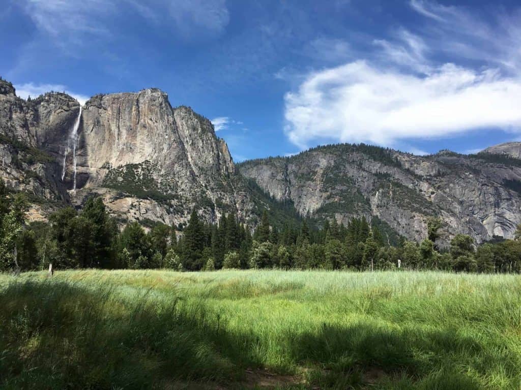
We started at the Tuolumne Meadows Visitors Center (the YARTS bus stop) and run connector trails to the JMT near the Cathedral Lakes TH. A “wakeup” climb brought us to Cathedral Pass, with wonderful views of Cathedral Peak, Tressider Peak, and Matthes Crest supporting a ton of enthusiasm. This is one of my favorite places in the park – it’s so undisturbed and peaceful, with pristine alpine meadows breaking up the views of absolutely stunning peaks. From there, we continued to the Sunrise HSC before turning NW off of the JMT and onto the Sunrise Lakes trail. This climbs up to an intersection with the Forsythe trail that connects Tenaya Lake and Clouds Rest. As much as I love Tenaya, we turned left and climbed up to Clouds Rest – one of my favorite views in the park and an unbelievable perspective of Half Dome.

From there, a massive (3,900 feet!) descent brings you Nevada Fall. This comes as quite a shock to the system – after a ton of solitude up in Tuolumne, the throngs that have journeyed up the Mist trail can be a bit abrasive. No matter, we left the “trade routes” of the Mist and John Muir Trails with a left turn up the Panorama trail to Glacier Point. More peaceful singletrack leads past Illouette Falls and one last climb brings you to Glacier Point. Remember what I said about the hordes at Nevada Fall? That was the dress rehearsal. You can drive to Glacier Point, so expect thousands of people (really). The good news is that there is a little store there that sells soft drinks, ice cream, and snacks. The view doesn’t suck, either. All you have left is a fun descent down the Four Mile Trail with jaw dropping relief down into the Valley, and a trot to the Village once you’re down there. A swan dive into the Merced is highly recommended as a quick detour en route to the Valley Visitors Center and the YARTS bus stop. 90 minutes later your friendly bus driver will drop you off right at your car back in Tuolumne!

You can view the map of my route here: https://caltopo.com/m/NVU5 and download the .gpx file directly from Caltopo and go for it yourself!
Planning a trip to Yosemite National Park? Here’s another trip report to get you psyched!
Share this
Popular posts


Leave a comment