Hiking Yosemite’s Bermuda Triangle: Tenaya Canyon
This post comes from Rachel McCullough, an avid hiker, mountain biker, rock climber, yogi, skier and photographer living in Truckee, CA. Follow @rachelmcphotos on Instagram for stunning images of beautiful Sierra scenery. When Rachel isn’t enjoying the outdoors, she’s teaching skiing at Northstar California or building and marketing websites for her clients at McCullough Web Services.

Who: Rachel, Theresa, Tom, Denis, Mat
What: Tenaya Canyon ascent
Where: Yosemite National Park, CA
When: September, 2014
Gear: Sawyer Point Squeeze Filter, Altra Lone Peak Trail Running Shoes, Black Diamond Primrose Harness
All photos by Rachel McCullough unless captioned otherwise.
Disclaimer: Hiking/Canyoneering in Tenaya Canyon is dangerous. This blog post is not a recommendation for you to try the route.
There were many reasons NOT to go to Tenaya Canyon. For starters, there is its reputation as the Bermuda Triangle of Yosemite. Then there is the curse that Chief Tenaya invoked when white men killed his son. If you don’t believe in that, there is a Google search results page plastered with stories of helicopter ride exits, as some sort of proof. Not even John Muir escaped unscathed on this 10+ mile journey. He found himself slipping, somersaulting, and then losing consciousness, only to be spared by the dense shrubbery on the route. Then there was the forecast: 40% chance of afternoon thunderstorms.
If all that wasn’t enough, closer to home, Alpine Meadows was charging their snowmaking system as the King Fire scorched tens of thousands of acres less than ten miles away. Facebook lit up with talk of being ready to evacuate. The list goes on. So what possessed me to leave a list of what should be saved with my husband in the event of a fire evacuation and make the six-hour journey to Yosemite? It was the lure of the remote off-trail experience, the promise of emerald pools, glacier-carved canyon walls, unparalleled views, time with good friends, old and new, and the challenge.
And while we didn’t emerge from Tenaya canyon unscathed, we did emerge having had the adventure of a lifetime. Just not one to be repeated in the same fashion, ever again.
Most people approach Tenaya Canyon from the top as a canyoneering route, rappelling through waterfalls and landing in ice cold pools. Seeing as in my ten years at Lake Tahoe, I’ve only swam in the lake once (gasp), a water-logged adventure didn’t sound appealing, and neither did the toe-crushing slab descents. So, with all of us having a rock climbing background, and in true John Muir form, we decided to go up.
The evening before our planned trip, as I arrived at Olmstead Point, which overlooks Tenaya Canyon, I saw, well, nothing. The King Fire smoke had followed me to Yosemite, and was so thick that the normally prominent Half Dome was invisible. We hoped it would clear before morning and we weren’t disappointed.
We started at Mirror Lake at around 7am, only a half hour behind our planned schedule. Our crew is not known for our timely morning departures (more about that here: http://bit.ly/TuolumneHike).

Because we started at the bottom we missed out on the sign at the top of Tenaya canyon that reportedly says,
“This is not a trail. Travel beyond this point is dangerous without climbing equipment. Return to Tioga Road”
It wasn’t long after 7am that my hopes of staying warm and dry were dashed as my Camelbak leaked a half liter of water in my backpack, down my back, and in my pants. It helps to actually make sure the lid is closed. Unfortunately, this wasn’t the wettest I would be on our ascent.
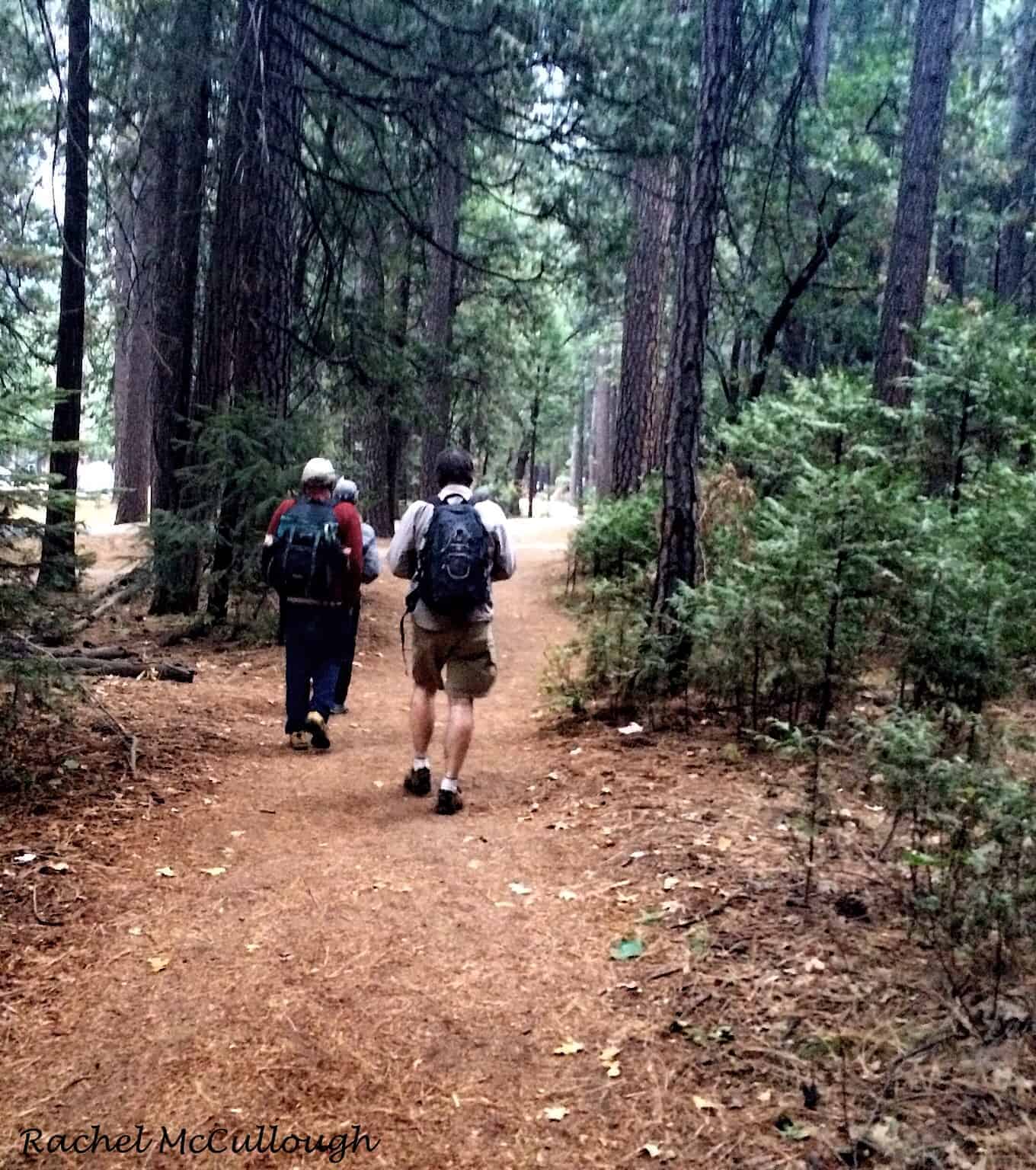
The trail started out flat and easy for the first few miles, but that changed quickly. We left the established trail at the Mirror Lake footbridge and started through the woods – bugs, poison oak, and all, eventually catching the Mt. Watkins climbers trail.
This wisp of a trail that seemed like a highway compared to maze of fallen trees we’d made it through so far. Tom and Theresa had both been twice through this Lower Gorge section, which made a big difference with route finding and the amount of time it took us to navigate.
The wooded area led us to a section of dry riverbed full of potentially ankle-twisting rocks. We cruised through it, taking in views of Mt. Watkins, its towers, which aren’t visible from the Valley, and the “other” side of Half Dome along the way. It’s amazing how just walking around to the other side of a formation gives you a completely different perspective and new awe at its beauty.


We pushed on knowing that the best views were ahead of us, and weren’t disappointed when we approached the mouth of the Inner Gorge. Water from a cascade curved along the glacially-carved rocks and fell into a clear emerald pool filled with fish. At least that is what I have to say about it. Other people have called it a toilet bowl.


The canyon walls narrowed and rose high above us. Enormous boulders had lodged themselves in the canyon. It was a big kid’s playground and just like in a jungle gym, our path was no longer a straight line. We went up and over some boulders, and down and around others. We stayed in the canyon when it was possible, and went up the walls and around obstacles when it was not. Anything wet was very slippery and out of the question. Many sections had glacial polish, which for the non-climbers out there, essentially means: extra slippery granite.


When descending the Inner Gorge, there are four rappel stations. This meant there were about as many tricky areas on the way up. Tom and Theresa knew the easiest way to navigate around these sections, but we did a little exploring to see if we could find a more direct route in one section. The low water made it look very promising. Tom had an idea at this section (see photo below).

He waded through the pool, pulled himself out of it on wet rock, and then offered to belay anyone up on a technical climb just downstream for those who didn’t want to get wet in the pool. Of course, I pulled on my rock shoes and harness and was ready for a belay. I’d do anything to avoid that freezing water! However, Tom scouted further upstream, which revealed that there was a wet and slick area that we could not pass. So, we went back down the canyon to find the route we knew was a go.
We wasted some valuable time to look for a shorter and faster route and to satisfy our curiosity. Ironically, with two of us from Truckee in the group, perhaps we should have kept the Donner Party lessons at the front of our minds. A perceived shortcut might not be so short. The smoky haze had been moving in, but the sky was still blue and our spirits were high.
We ascended steep slabs to circumvent the gorge obstacles. This is not a good time to look down if exposure or the fear of losing your footing and sliding hundreds of feet into a gorge bothers you. Some bushwacking was required, but a few bruises (me) and just a little blood later (Denis), we emerged from the thick manzanita, happy to have our feet on the rock again.


Once past the obstacle, we descended the slabs and dropped back in near another perfect, still pool, where we filtered water with our squeeze filter and had some food. We continued uneventfully up to the top of the Inner Gorge, and released from the slight claustrophobia of its narrow towering walls, we reached the Hidden Valley. We were greeted by more riverbed walking, a rattlesnake, and a good view to the east. This view happened to be of clouds building in the high country, right where we were headed.


We stood at the foot of the Pywiack cascade, but not for long. This thin ribbon of water slipped down the smooth granite slab and gracefully entered yet another clear emerald pool. We were drawn to it and wanted to stop. The rocks just outside the pool had wonderful circular patterns from the receding water and luckily Mat scampered down to get the only photo.


But, up we went. Calves burning. These were the steepest and most exposed slabs of our journey. Some of us put on our rock shoes for this section, but were a little sorry about it, mostly because climbing shoes hurt to walk in. The secure footing was welcome though and there were few places to change your mind about footwear on the ascent.


The Pywiack cascades would have been nearly impossible, never mind very dangerous in the rain, so we focused and walked while we had clear weather. We reached the top of the saddle and were treated with views of the Lost Valley. At this point, we had finished the most difficult portion of the route and knew we could complete the rest, rain or shine.
We descended on more slabs into the valley and headed straight for the flat rocks in the creek bed. We kicked up our feet to soak up the last of the sun’s rays we’d see for the day. This was at about 3pm. I pulled out my raingear, still water-logged from the Camelbak incident and held it up in the breeze to dry it out. The drizzle set in as we headed off again. Not saying much, we plodded along the mostly flat valley floor, taking in the views of granite all around.


The rain was picking up. We reached the final slabs of the route that carried Tenaya Creek, but there was no creek this late in the season, at least when we arrived. The slabs consisted of grippy granite, interspersed with glacial polish. Remember, that’s the stuff I called extra slippery rock. But there was nothing too steep, and the end of the canyon was in sight.

And then it happened so quickly. One misstep and Denis had one foot on the polish, slipped a short distance, and subsequently announced that his left arm was broken. And it was just that. A slip, a minor fall, and an announcement. Like, “hey guys, my wrist is broken.” And it was broken. Very broken.
Now when I normally see these kinds of things on the ski hill, people are passing out, wailing, kicking, and end up in a sled to the clinic. In fact, Denis tells us that last time he broke an arm, he did pass out briefly. Miraculously, Denis’ body did not opt for any of these options. Instead he sat there calmly as the 4 us of encircled him and began dispensing medicine, getting him in a rain jacket and fashioning a split. In case you are in an unfortunate situation like this, I highly recommend checking out the padding around the frame of your backpack for a splint, with some clothes in there for cushioning and some athletic tape to wrap that all up. A couple of bandanas make a nice sling.
With zero complaints from Denis, he stood up and we continued, some of us crab walking down a polished section to the grippier granite beyond. There were two of us by his side at all times on the slab, just to be sure.
Then Tenaya Creek appeared. I don’t mean that we reached high enough that it came into view. I mean it literally appeared, right there with us, on the slab. Right underneath our feet. The rain came down hard, and the hail, thunder and lightning started. Just ninety minutes previous we were sunning ourselves on some rocks. Now we had a broken arm, a creek under our feet, and a cold rain. Undeterred, we trudged along silently, eyes glued to the granite, looking for non-polished footing. We all breathed a sigh of relief when we reached the top of the slab and got ourselves on the proper side of the creek.
Three of the five of us had been to this place before. The terrain was relatively flat and becoming wooded. There was less than 2 miles left and the last part was on a trail. So the Donner Party question arose again. With Denis’ arm, should we make a beeline for the trail via a shortcut we didn’t know, or should we go the route we know, hitting the easier trail walking later and perhaps taking longer?
We all thought the trail would be easier and more comfortable walking for Denis, so opted to find it more quickly, rather than later. So we took a sharp turn, hoping to intersect it any minute, but we didn’t. In fact, we walked a half a mile in the complete wrong direction. Although the terrain seemed flat, we saw the newly formed creek water running the wrong way. Or it was running the right way and we were walking the wrong way. This was a big clue.
So Tom ran up to the nearest high point to right us and I opened up my map and watched the ink outline of every trail I’ve traveled in Yosemite run off in streaks of red as it poured, hailed and the thunder crashed even louder. Tom could easily see the features around Tenaya Lake and we were on our way again. Daylight was waning and it had dropped twenty degrees.
The sight of the trail was a relief to all of us. Tom ran from there to warm up the car. We blasted the heat until we hit Yosemite Valley, about four thousand feet below our end point and at the same elevation as our starting point. The rain was still falling, but it was feeling balmy and near seventy degrees.
We thanked each other for an adventure to never be repeated as Tom and Denis headed off for a night in the ER, still two and half hours away.


4 comments
Share this
Popular posts


BTW, your group ascended up next to a small tributary at 37.783147, -119.497527, not the Pywiack Cascade itself. I compared your pictures with mine and figured out where you climbed up. The Pywiack Cascade itself involves 5th class rock climbing in sections, and is generally much steeper than the terrain you climbed up.
I’ve done trips in Tenaya Canyon myself and your photos are excellent portrayals of both the beautiful creekscape and rugged terrain. One clarification: The area you reach immediately after ascending the Inner Gorge is the true Lost Valley. It is incorrectly described as Hidden Valley in the text.
Your photos made me understand the terrain sequence of climbing and it was like I was there. Good writing
Amazing pictures of you all hiking up those steep granite walls and past huge boulders. I don’t know how you all managed to climb such steep walls. It looks super hard & super dangerous. I would never attempt to do what you all did in a million years. You all must be very experienced hikers & climbers and extremely brave too. I have been to Yosemite National Park a few times but just hiked the safe trails. Stay safe out there.
Leave a comment